
An Invisible Map for Sea Turtles
แตะคำเพื่อแปลและบันทึกไว้ฝึกฝน
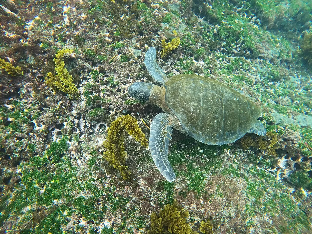
Imagine finding a small island after travelling across open ocean. Green turtles that nest on Ascension Island face a remarkable navigation problem: their feeding grounds lie thousands of kilometres away near Brazil. There are no road signs between the two places.
Earth’s magnetic field offers one possible source of information. Sea turtles can detect magnetic cues: signals from the field that may help them find their way. These could be useful far from any visible landmark. However, reaching the right part of an ocean is different from locating one small island.
A study of Ascension navigation explored how different signals might work together. Using models of magnetic conditions, ocean currents and winds, researchers examined a possible two-stage journey. Magnetic cues could bring turtles near the island, while smells carried through water or air could help them find it more precisely.
The models tested whether this combination was a possible explanation. They did not prove that real turtles followed that exact sequence. A successful model can show that an idea is worth investigating, but further evidence is needed to confirm what the animals actually do.
คำในย่อหน้าที่คุณใช้เวลาอ่านจะถูกเพิ่มในคำที่เคยเห็น หนึ่งครั้งต่อข้อความต่อวัน UTC เป็นการประมาณการพบคำ ไม่ใช่ความเข้าใจ
แหล่งข้อมูลและภาพถ่าย
เขียนสำหรับผู้เรียนภาษาอังกฤษโดยอ้างอิงแหล่งข้อมูลด้านล่าง
- US Geological Survey: Animals and the magnetic field
- Endres and colleagues: Multimodal homing in sea turtles
ตรวจสอบล่าสุด:
ภาพถ่าย: MasterfulNerd · CC BY-SA 4.0 · ปรับขนาดแล้ว ภาพย่อถูกครอบตัด

ตรวจสอบความเข้าใจ
บทความข้อเท็จจริงพร้อมแหล่งข้อมูล ระดับ CEFR เป็นค่าประมาณ